

اولين مقاله اي كه در مورد كاربرد سيستم اطلاعات جغرافيايي در زمينه بيماري مالاريا در ايران منتشر شد به شرح زير است:
نويسندگان: دكتر قاسم زماني، ايرج شريفي، كوروش هلاكوئي، ابوالحسن نديم
مجله پژوهشي حكيم، 1379؛ دوره 3، بهار، شماره 1: صفحات 68-57
كلمات كليدي: سيستم اطلاعات جغرافيايي، مالاريا، تجزيه و تحليل فضايي
چكيده:
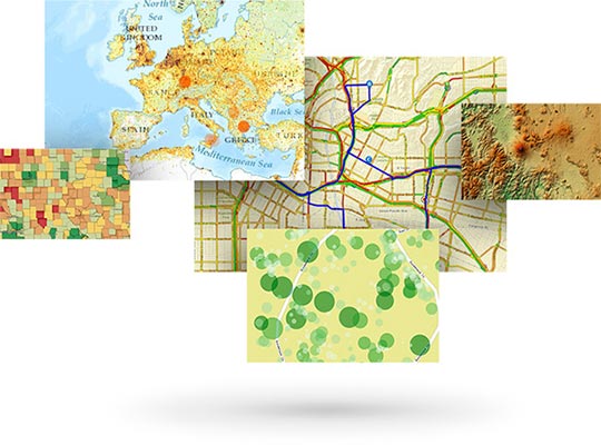
بخش بسيار مهمي از اطلاعات اپيدميولوژيك از داده هاي مكاني سرمنشا مي گيرد. نگاه جغرافيايي به بيماري هاي گرمسيري همچون مالاريا كه عواملي نظير پستي و بلندي ها، دما، بارندگي و استفاده از زمين اثرات عميقي بر توزيع زماني و مكاني ناقلين و بيماران دارد، سابقه اي طولاني دارد كه استفاده از آن طيف وسيعي از تهيه نقشه هاي ساده اپيدميولوژيك تا تجزيه و تحليل تصاوير ماهواره اي را در بر مي گيرد. سيستم اطلاعات جغرافيايي GIS فن آوري ايده آل براي توليد چنين اطلاعاتي مي باشد. در ايران، اين سيستم پيش از اين در بخش هاي ديگر به طور گسترده مورد استفاده قرار گرفته است ولي در بخش بهداشت تاكنون استفاده موثري از آن نشده است. سيستم اطلاعات جغرافيايي براي كنترل و مديريت بيماري مالاريا براي اولين بار در شهرستان كهنوج به كار گرفته شده است كه حاصل آن بازنگري نظام جمع آوري داده ها در سيستم مراقبت اين بيماري و ارايه نقشه ها و خروجي هاي ديگر براي نقاط و محدوده هاي جغرافيايي مي باشد.
Designing GIS for control and management of Malaria in Kahnuj
Zamani Gh, Sharifi I, Holakouei K, Nadim AH
Hakim Research Journal 2000;3(1): 68-57
Keywords: GIS, Malaria, Spatial analysis
Abstract:
A great deal of epidemiological information is concluded from spatial data. Geographical aspect of tropical diseases such as malaria, whereby patients, its vector’s temporal, and spatial distribution are affected by height, temperature, rainfall and land use; goes back to many years ago, ranging from simple epidemiological maps to analyzing satellite images. Geographic information system (GIS) provides the best technology to produce such information. In Iran, it has been used in many sectors for several times, but it has not yet been applied effectively in the health sector. For the first time, geographic information system, has been applied to control and manage malaria in Kahnuj, which led to redefining data processing of surveillance system of this disease and providing maps and other outputs for geographic points and areas.